Public planning culminates in
a new form of Rogers.
By Amber Long

Rogers planners and Garver consultants collaborate on the FLUM draft.
- Photos courtesy of Garver
INFORM Rogers, launched in July 2022, is a public planning process culminating in the adoption of the Rogers Comprehensive Plan and a form-based development code. “Inform” is a play on words. It alludes to a shift toward a form-based approach to community development across the entire city. It also speaks to a key component of comprehensive planning: communication between people who have a vested interest in how the city develops in the coming decades. The comprehensive plan and the new development code are shaped by the needs, wants and hopes of our community.
Much of this project has been devoted to educating ourselves as staff and the general public about the benefits of form-based policies. When we say “form-based,” we’re juxtaposing it to use-based development policies that are concerned with separating (e.g. residential uses from commercial or civic spaces).
In short, use-based approaches result in an inefficient form of development that requires the extension of expensive infrastructure, it leaves land underdeveloped, and it does little to foster a sense of place for a city. Our director John McCurdy speaks more about the drawbacks of use-based policies and the benefits of a form-based approach in “Back to Its Roots,” which explores the revitalization of Downtown Rogers. Downtown is an excellent example of the resilience and adaptability that come with form-based development.
In adopting a form-based approach for all areas of the city, we aim to create diverse neighborhoods, dynamic corridors and bustling centers. We aim to build places of lasting value.
Our approach to form-based community development is predicated on our comprehensive planning policies and our zoning and development regulations. Let’s start with our plan.

The proposed Rogers Comprehensive Plan is intended to serve as the city’s official policy document for community development. The plan is designed to be evergreen: It won’t expire; instead, it will evolve with the city. Through this plan, we’re establishing a framework for long-range planning that will preserve our existing community assets, prepare the city for growth, support a robust economy and foster an inclusive social environment.
The future land-use map (FLUM) and master street plan (MSP) are subsets of the Rogers Comprehensive Plan. These maps are best described as blueprints for placemaking. The FLUM illustrates where different types of places are appropriate. As a form-based land-use policy, the FLUM sorts the city into place types based on the desired scale and intensity of development. Intensity is measured by elements such as the height of buildings, the concentration of businesses and homes, the amount of greenspace throughout the area.
Broadly, we’ve created three categories of place types: centers, corridors and neighborhoods. Each category is further delineated to account for the existing conditions, natural features and redevelopment potential of different areas in the city. We factored in guidance from documents like Vision 100 and community feedback to create place types that accommodate a range of lifestyles, protecting both property rights and personal choice.

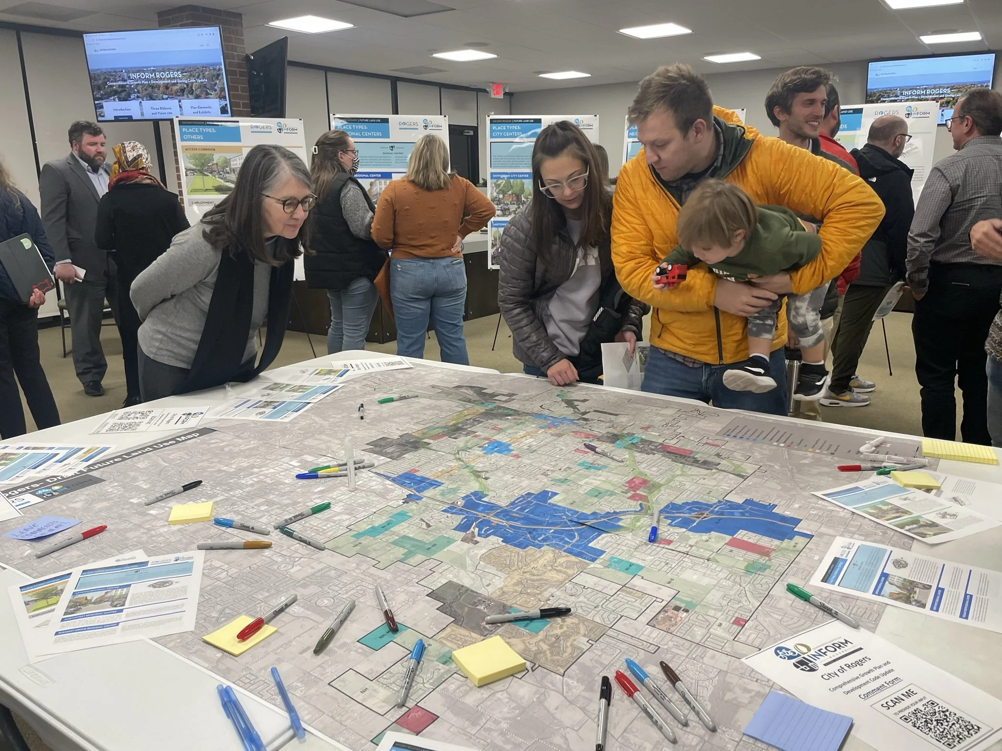
City staff and consultants share data and interact with residents at the December 2022 INFORM Rogers Open House. - Photos courtesy of Garver
Drafting an effective FLUM involves a bit of time traveling. With the help of consultants from Garver, we considered the history of areas like downtown, the newness of uptown, and the evolution of major corridors such as Walnut Street. This process also involves some actual travel. For three months, we toured the entire city. We shifted place type boundaries in some areas and discovered a need for new place types in others. We called this process “ground truthing,” and our observations provided a basis for our proposed form-based regulations.
The proposed updates to the MSP strengthen the relationship between our land use and transportation policies by allowing context-based street design to complement place types. Engineers classify streets as either arterial, collector or local based on the traffic volume and width of the roadways. We worked with consultants from DPZ CoDesign to develop a schema for designing streets that support the various functions of different place types without compromising efficiency.
For example, a major arterial street such as Walnut passes through Center, Neighborhood and Corridor place types. As you move from one place to the next, the number and width of lanes may vary; sidepaths turn into multiuse trails; and street furnishings change. As a form-based policy document, the MSP also considers the condition of intersections. Through this update, we’ve added neighborhood traffic circles and roundabouts to improve safety and keep traffic flowing along high-volume routes. This not only improves our internal transportation network, but also provides easy connections to destinations, like the Walmart campus, in other cities.
These elements of the comprehensive plan are enacted through our Unified Development Code, Engineering Manual and Drainage Criteria Manual. For now, we’ll focus on the UDC.

City staff and consultants share data and interact with residents at the December 2022 INFORM Rogers Open House. - Photos courtesy of Garver
The Form-Based Codes Institute defines a form-based code (FBC) as one that “fosters predictable built results and a high-quality public realm by using physical form (rather than separation of uses) as the organizing principle for the code.” Though they emphasize compatibility between adjacent developments, areas developed under FBCs are far from homogeneous. FBCs tend to yield architecturally distinctive developments with an eclectic blend of businesses and residential units that, when taken together, carry a unique sense of place. Consider the difference between Uptown and Downtown Rogers. Both are vibrant centers governed by form-based development codes, but they differ in their form and intensity.
From the beginning of this process, we wanted to create a set of development regulations that blends national best-practices with local knowledge. Rogers is known for its authenticity. Over the course of this process, staff has worked diligently with consultants from DPZ and PlaceMakers LLC to write a code that would allow the city to grow and evolve organically.
There are quite a few innovative elements of the proposed UDC. Foremost, it begins with the creation of lots and blocks. Street grids determine so much of how places feel and function. In the UDC, the development pattern also drives the location of utilities, including stormwater facilities. This framework provides more predictability for utility companies, mitigating the risk of needing to put up lines to accommodate new developments. The creation of lots and blocks also ensures that space is allocated for future parks. We hope that this element of the code will increase access to outdoor spaces for all residents, which will become increasingly important as the population grows.
Like other FBCs, the UDC does not limit residential density. Instead, the number of residential units that may be constructed on a given property is regulated through height maximums, building coverage percentages, yard-depth dimensions and other standards for building bulk and disposition. Otherwise, if you can build it, you can build it! By being prescriptive in some ways and permissive in others, we hope to see diverse housing and intriguing public spaces.
Ultimately, the regulations in the UDC encourage the creation of spaces where people can come together. Plazas, sidepaths and porches all contribute to a sense of neighborliness. This benefit speaks for itself.
Amber Long is a planner for the city of Rogers and the project manager for the INFORM Rogers planning process.
Editor’s Note: The city of Rogers is in the process of creating a transformative public planning initiative that emphasizes communication among stakeholders and shifts toward form-based community development. At the time of printing, Rogers was recovering from a Memorial Day weekend tornado, necessitating a reevaluation of their plans as the community comes together to recover and rebuild.